Geospatial Information Systems Design and Architecture - Unlocking the Potential of Your Data
Geospatial information systems (GIS) have become increasingly important in a wide range of industries, from public services and utilities to defense and real estate. Knowing where your assets are and being able to link them to business-critical data are key to long-term planning, risk management, and maintenance operations. At picoEdge, we have the expertise to drive this information from architecture through implementation and refinement, or to step in for maintenance and staff augmentation roles.
Our team has extensive experience in GIS data management, mapping, and analysis. We understand the importance of accurate, up-to-date data, and we have the skills and knowledge to design and implement efficient GIS systems that meet your specific needs. Whether you need help with data migration, system integration, or ongoing maintenance and support, we can provide the solutions you need.
Our GIS services include:
- GIS data management and analysis
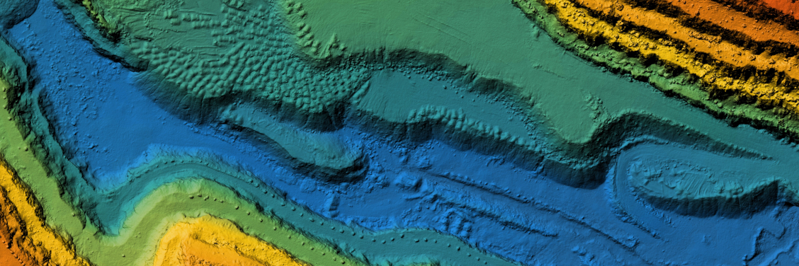
- GIS mapping and visualization
- GIS system design and architecture
- GIS system integration
- GIS data migration and conversion
- GIS staff augmentation
With our help, you can unlock the full potential of your data, streamline your operations, and make better decisions based on accurate, reliable information.
Reach out
Learn more about how we can help your organization achieve its goals.